Hello!
I'm going hunting om the Kaimais, but I don't know, if I can use my cell phone as GPS there? Or do I have to buy a GPS for the purpose? I have Vodafone if that's of any importance.
Best,
Welcome guest, is this your first visit? Create Account now to join.
Welcome to the NZ Hunting and Shooting Forums.
Search Forums
User Tag List
+ Reply to Thread
Results 1 to 15 of 18
Thread: Cell coverage in the Kaimais
Hybrid View
-
31-01-2019, 07:48 PM #1Member

- Join Date
- Jan 2019
- Posts
- 2
Cell coverage in the Kaimais
-
31-01-2019, 07:58 PM #2
-
31-01-2019, 10:21 PM #3Member

- Join Date
- Feb 2016
- Location
- Stewart island / canterbury
- Posts
- 9,193
Download the nz topo50s map then it doesn't matter if there is reception, just turn on the location feature on the phone and it should show up on the map
-
31-01-2019, 10:59 PM #4Member

- Join Date
- Dec 2017
- Location
- Waikato
- Posts
- 752
As stated, if you have topo maps downloaded on your phone you can use them offline. GPS on your phone works without coverage. Personally I use the ViewRanger App and find it good.
If you’re thinking from a safety point of view, I get cell reception along the Western side of the Kaimais from SH29 to Wairere Falls, although you generally have to be close to the edge. In the Northern part, typically as long as you are on a ridge or near to the top of one you’ll have coverage.More meplat, more better.
-
31-01-2019, 11:11 PM #5Member

- Join Date
- Feb 2016
- Location
- Stewart island / canterbury
- Posts
- 9,193
Should also have added make sure you take a compass if the phone is your only navigation....
-
31-01-2019, 11:33 PM #6Member

- Join Date
- Jan 2019
- Posts
- 2
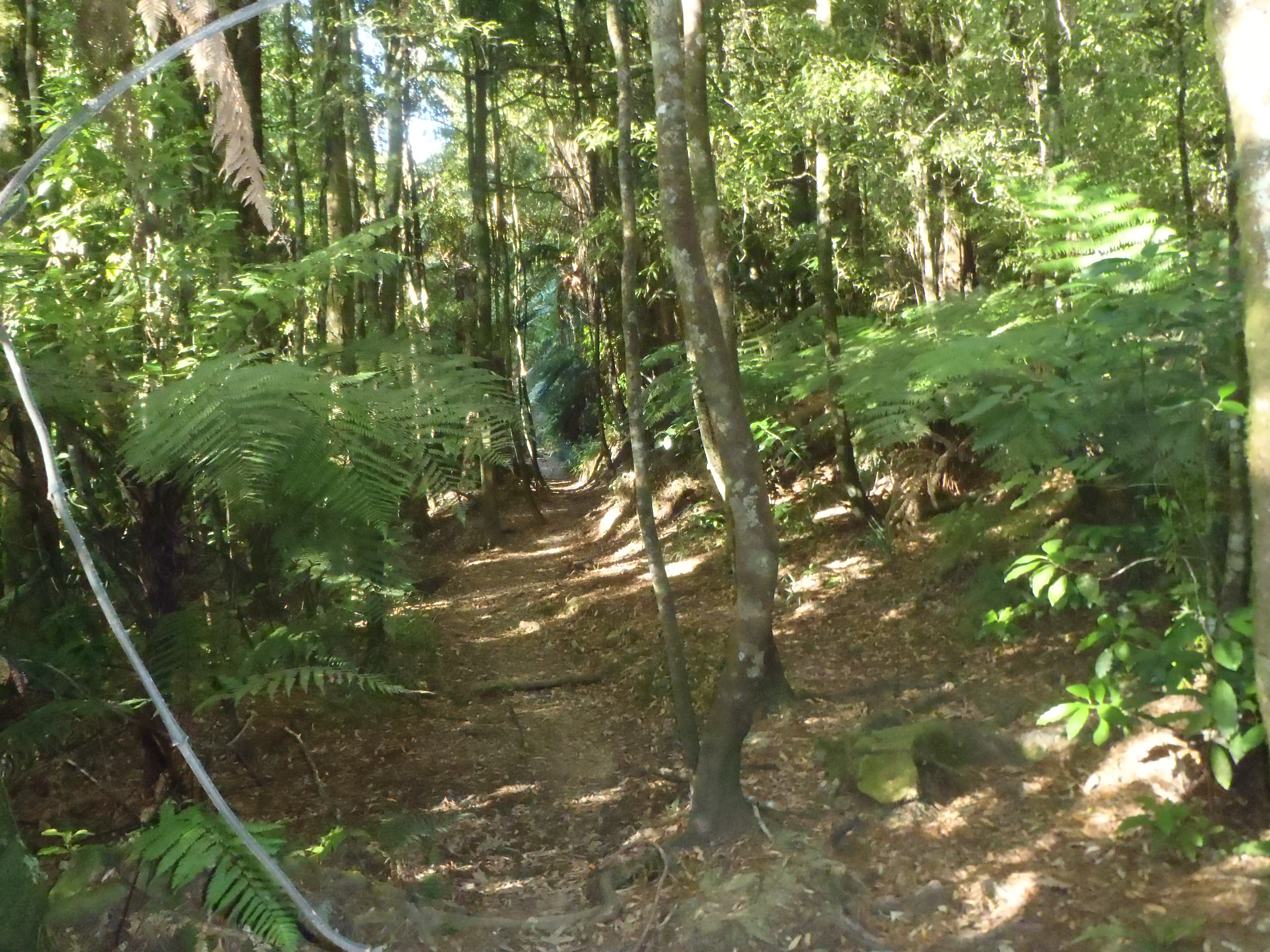
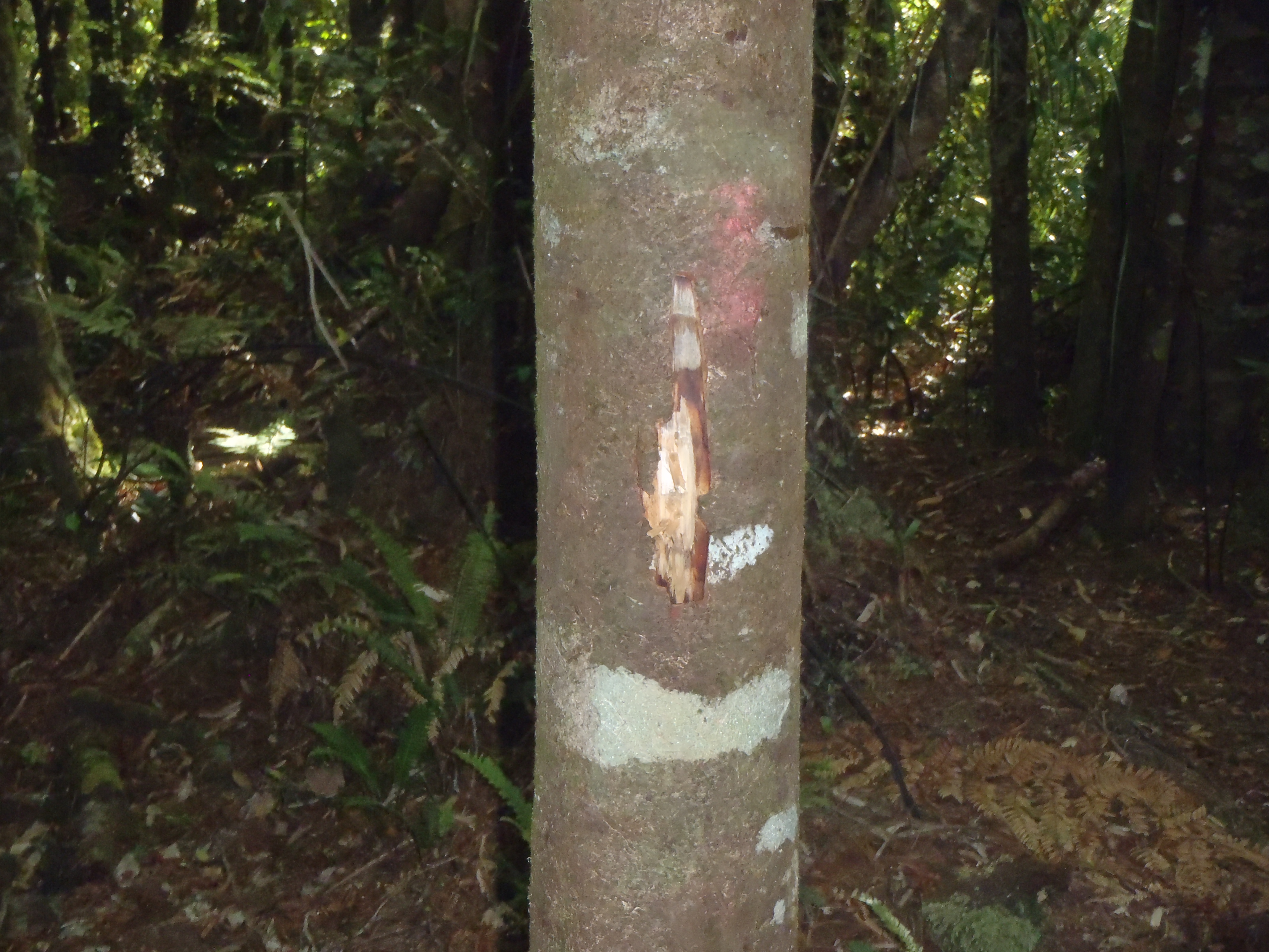
Thanks for your good advice. I'm thinking of going hunting along the Thompsons track. Would you say that it's easy to follow the track to the Motutapere Hut or do I need the route on a map/app to find it?
-
01-02-2019, 01:27 PM #7Member

- Join Date
- Feb 2016
- Location
- Stewart island / canterbury
- Posts
- 9,193
-
01-02-2019, 01:25 PM #8Member

- Join Date
- Mar 2014
- Location
- Tauranga
- Posts
- 3,016
Hey man, It sounds like you are pretty inexperienced in both hunting and/or navigation. Kaimais are thick and confusing at the best of times, and many a more experienced navigator than yourself has become geographically embarrassed in that bush.
If you want to have an enjoyable hunt in new country, and not have to worry about getting lost, a gps or gps app on your phone is pretty much a must. ALWAYS take a map and compass as well.
Pay the $10 or whatever for the phone app. Seriously, you'll thank me after a couple of hours in the bush there
Have fun, be safe and hunt hard
-
01-02-2019, 01:30 PM #9
500m from track isn't it? Poor bloke in the Ruahines copped one while on the track, not very good practise imo.
-
01-02-2019, 01:32 PM #10Member

- Join Date
- Feb 2016
- Location
- Stewart island / canterbury
- Posts
- 9,193
-
01-02-2019, 07:46 PM #11Member

- Join Date
- May 2017
- Location
- Napier.
- Posts
- 2,101
-
01-02-2019, 08:29 PM #12Gone but not forgotten

- Join Date
- Apr 2017
- Location
- Hamilton
- Posts
- 4,129
-
01-02-2019, 10:00 PM #13
-
01-02-2019, 02:20 PM #14Member

- Join Date
- Mar 2012
- Location
- Waikato
- Posts
- 2,166
As said:
Excellent phone reception on the west because you have line of sight to call towers and can be patchy on the east because some valleys dont have line of sight.
Gps on phone doesn't require cell coverage.just satellites and reception is excellent unless you're deep in a ravine.
Several apps allow download of topo maps at home on wifi I use topo50 and you get all north island for about $10 I think.
If you've got cell reception you can use Google or apple maps with satellite layer to see the vegetation and find slips clearings huts but can be confusing to understand ridges and valleys etc.
Paper map with a compass is good. You can download them from doc or linz and print out the section of interest if you've got time.
That part of the kaimais is steep enough navigation is straightforward. Flat areas round wairere falls etc are diabolical but round motutapere you will be fine.
Thomson's track is a poxy mud hole and I think people go there by 4wd and trail bikes so depressing to traverse on foot from either west or east.
Look at the tuahu track and come to motutapere hut from the north. It's an interesting piece of ridge. Dont try to walk straight up over sentinel rock.
Read your doc permit for details of the "no hunting near tracks" rules. They are there to keep people safe on roads like thompsons track and popular tracks. To be honest a large part of the land in the kaimais is within 400m of some track. Review your rules 3,4 and 5 of firearm safety.and use common sense as well. Specially dont annoy endanger or frighten anyone; be a nice guy friendly polite to all you meet hunter tramper or biker.
-
01-02-2019, 05:51 PM #15
Similar Threads
-
NZ topo maps on phone /gps with free with no cell coverage.
By dansus in forum Gear and EquipmentReplies: 4Last Post: 11-02-2016, 08:31 PM
Tags for this Thread
Welcome to NZ Hunting and Shooting Forums! We see you're new here, or arn't logged in. Create an account, and Login for full access including our FREE BUY and SELL section Register NOW!!


 12Likes
 LinkBack URL
 About LinkBacks


 Reply With Quote


Bookmarks