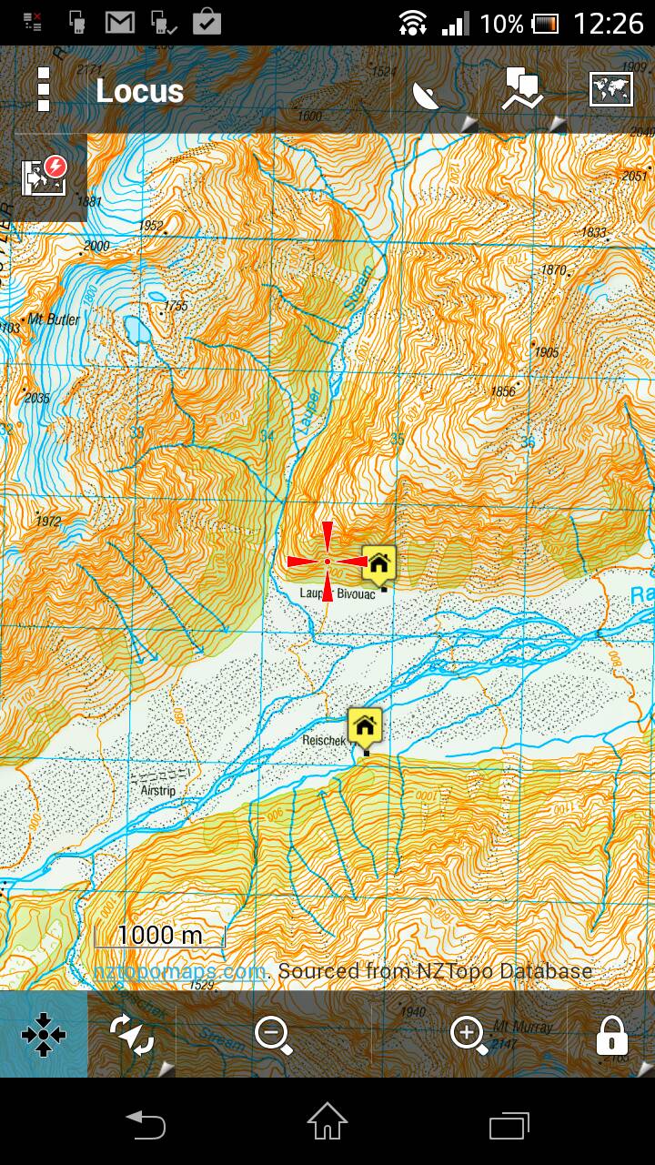
And one more for good measure, this time zoomed out a bit. The actual picture on-screen is clearer than the attached pic, I guess it's compressed somewhere along the way.
As for DOC boundaries I know you can download the DOC boundaries for the entire country on koordinates website but it is a huge ass csv file that'd need converting to kml. Shame you can't just download the area you want as the website gives you the option to download as a.kml file but the entire country is too large apparently. You'd need to cut and convert the areas of interest from the csv file.
Welcome guest, is this your first visit? Create Account now to join.
Welcome to the NZ Hunting and Shooting Forums.
Search Forums
User Tag List
Results 1 to 15 of 78
Thread: Garmin Monterra GPS
Threaded View
-
17-12-2013, 12:28 PM #21
Last edited by SIKAHUNTER; 17-12-2013 at 12:39 PM.
Similar Threads
-
garmin 62s
By nork1122 in forum Gear and EquipmentReplies: 9Last Post: 15-07-2013, 04:08 PM -
garmin 62s, which sd card?
By foxhound in forum Gear and EquipmentReplies: 0Last Post: 09-03-2013, 06:19 PM
Tags for this Thread
Welcome to NZ Hunting and Shooting Forums! We see you're new here, or arn't logged in. Create an account, and Login for full access including our FREE BUY and SELL section Register NOW!!


 20Likes
 LinkBack URL
 About LinkBacks


 Reply With Quote


Bookmarks