

 3Likes
 LinkBack URL
 About LinkBacks
So I have made the giant leap into the 21st century with a new phone.
Can someone give me some advice on apps and software ?
I want to be able to take images with location enabled.
Drag the location and image into a computer document and create a table with the image, location data and task required to be done there
Fore example
Walk an entire tramping track network.
Photograph issues along the route
Take notes for that image and location
Then at home on my office computer creat a report with the
Point number
Location
Image
Issues identified
Remedial strategy
Could be a small data set of 5 points or a massive Dara set with 100 points
Do any of you do this kind of work or know how to do it ?
Welcome guest, is this your first visit? Create Account now to join.
Welcome to the NZ Hunting and Shooting Forums.
Search Forums


User Tag List
+ Reply to Thread
Results 1 to 13 of 13
-
22-08-2024, 11:53 PM #1Member

- Join Date
- Dec 2014
- Location
- canterbury
- Posts
- 6,832
Mapping and images flatware on phone
The Church of
John Browning
of the Later-Day Shooter
-
-
22-08-2024, 11:54 PM #2Member
- Join Date
- Dec 2014
- Location
- canterbury
- Posts
- 6,832
Clearly should be software
But still learning to drive this phoneThe Church of
John Browning
of the Later-Day Shooter
-
23-08-2024, 10:31 AM #3Rabbit Herder

- Join Date
- Mar 2012
- Location
- South Canterbury
- Posts
- 2,024
Youre probably right about there being specialist software to streamline this and make it really easy, but it sounds straightforward enough (if slower and more manually involved) to do it in a basic way with what you have.
If you check in your phone settings for the camera, you can turn on location data for all photos automatically. This is then digitally attached to the photo - called EXIF data. Key being that exif data isnt limited to just location info.
If you open your phone gallery/photo library after taking the photo, open the photo, then you can usually see the exif data with a wee i icon or similar. On my iPhone I can then add a caption/notes to the image as part of this exif data. (Id also tap the star/heart icon to favourite the image so you can see at a glance which ones youve noted)
So you then have your image on the phone with the location and notes attached within the file.
Your phone will have some option to sync photos via cloud automatically, or you can use a free service like dropbox to do this selectively, sending just the photos you need.
Now onto your computer, you can access the other end of this cloud service and download the photos you need.
Open them in a photo viewer and you should be able to copy and paste the location and note data across to a table in your report.
Definitely more involved than the right software would be though..
Coupled with your hut work, this sounds like an interesting niche youve carved out.. need a very part-time apprentice?akaroa1 likes this.
-
24-08-2024, 09:17 PM #4Member

- Join Date
- Mar 2022
- Location
- Ashburton
- Posts
- 782
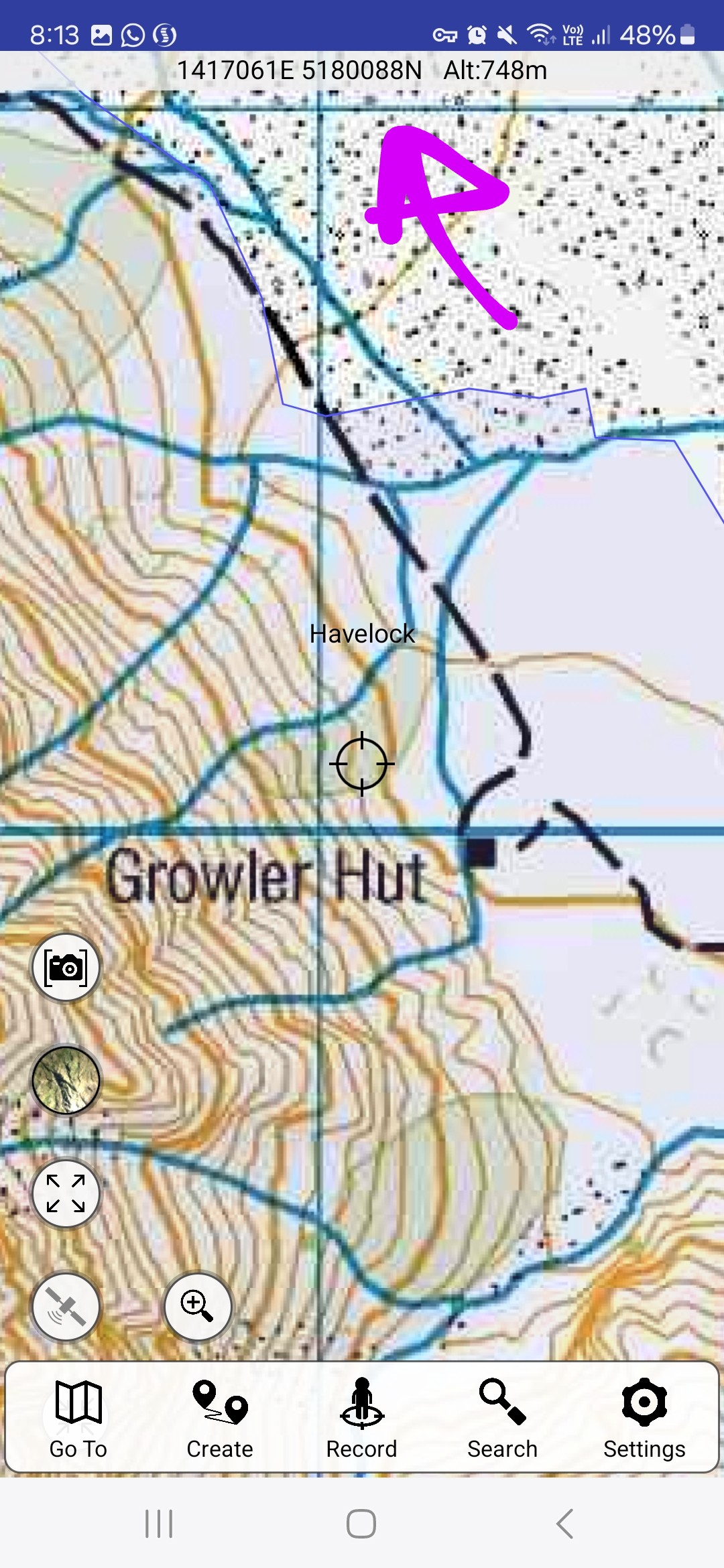
I don't know if this helps but if you download Topo50 offline maps (paid app) you could take a screen shot of where you are with the coordinates shown along the top. Also if you enable location services on your photos that can record location as well (I havent had experience with the photo location which someone else may be able to help)
 akaroa1 likes this.
-
24-08-2024, 09:34 PM #5Member
- Join Date
- Dec 2014
- Location
- canterbury
- Posts
- 6,832
@StrikerNZ there's a lot there for me to get my head around Originally Posted by StrikerNZ

But in theory I get the idea
I will wait until my son in law is here next and give it a try
Yeah I certainly do have a niche semi retirement job doing huts, tracks and other conservation work.
This winter I've been building a new 1km track and frankly trade building is a young man's job and I am not a young man !Dan88 likes this.The Church of
John Browning
of the Later-Day Shooter
-
25-08-2024, 09:03 PM #6Member
- Join Date
- Dec 2021
- Location
- Tauranga
- Posts
- 5,954
How I'd do it - take photo, then view photo, then edit photo (add freehand txt), note down a quick blurb on what it is on the photo i.e. "tree across steps" and then use a wet writes note pad or similar just to jot down photo number, dimensions, tools and work required etc etc. With the gps location enabled it will allow you to access that later in the photo's EXIF data (where it stores the date, time, photo technical details and other stuff like location etc).
While tech is good, I still prefer to back myself up with another option hence the wet writes notepad. Plus if something craps itself or the phone has a nup on you you can still work after a fashion with the pad and paper option.
-
26-08-2024, 07:23 PM #7Member

- Join Date
- Dec 2018
- Location
- Methven
- Posts
- 11
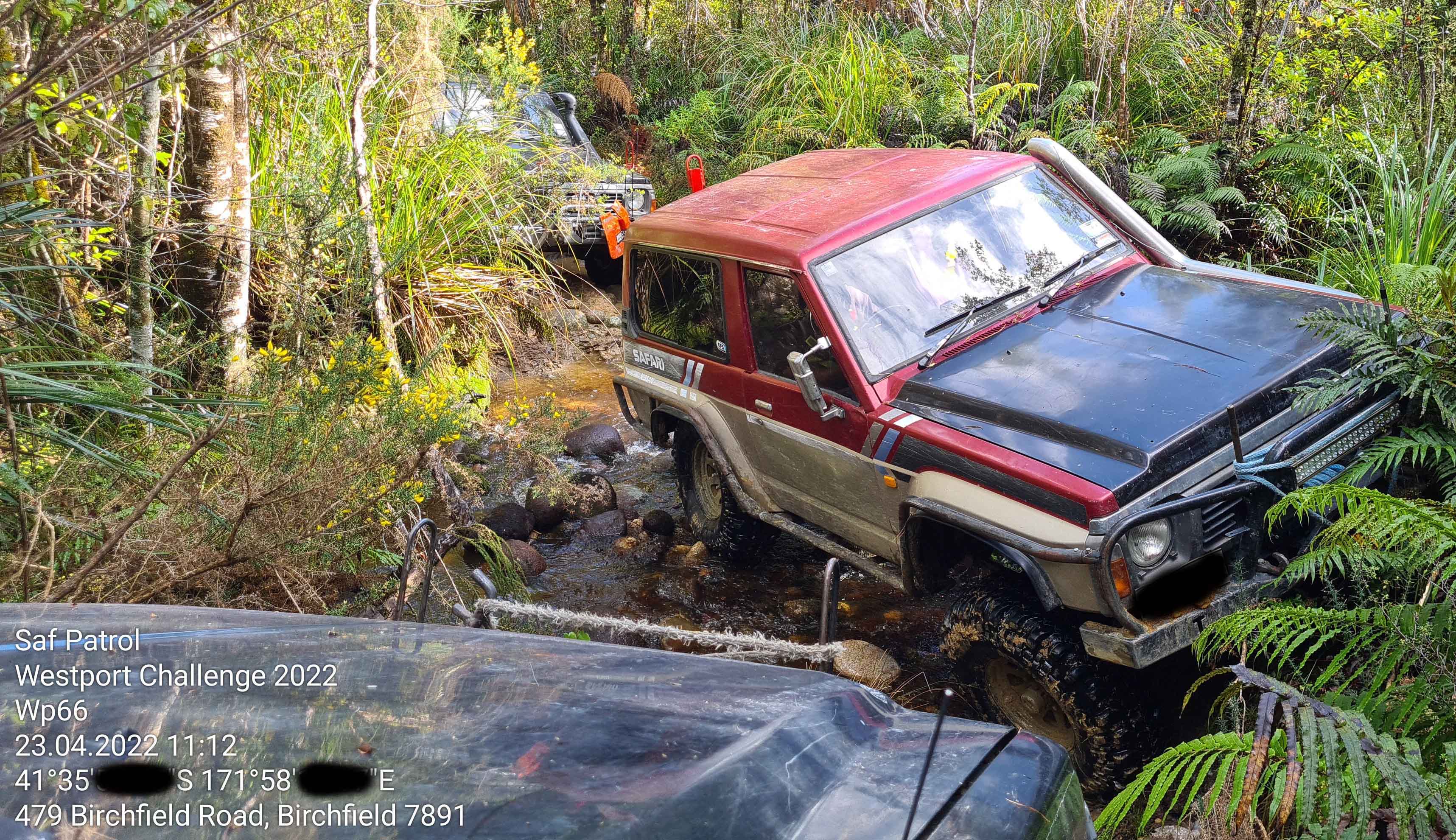
Something that could possibly work for you is a camera app that overlays a timestamp + GPS coordinates + notes (if desired) when you take the photo.
Basically you input the information required for the basics of the overlay that don't change - in my case of this team challenge 4x4 orienteering event was the name of our team and the event that was taking place. That only needs to be done once as a "setup", and then when a photo is taken through the app it overlays that info automatically along with a timestamp and GPS coords, and then you can add any notes as desired too (in my case the WP# was added as a note on each photo)
The app I used is called "Conota - Timestamp GPS Camera" but I'm sure there is a bunch of similar offerings.
-
28-08-2024, 11:58 AM #8Member
- Join Date
- Mar 2022
- Location
- SI
- Posts
- 1,596
What you are asking for is a database that specifically works for image storage in which all the data including geo info can be structurally managed. A software called ACDSEE can help you, but still there are a lots of works have to done by yourself to meet your requirement.
So be it
-
28-08-2024, 12:08 PM #9Member

- Join Date
- Aug 2021
- Location
- Auckland
- Posts
- 372
If you have an iPhone you can set up this sort of automation using the inbuilt Apple Shortcuts app.
You will need to get someone tech savvy to do it for you. You can extract location data from photos then automatically add these as a row in a Google Sheet.
-
05-09-2024, 11:25 PM #10Member
- Join Date
- Jan 2012
- Location
- Taupo
- Posts
- 782
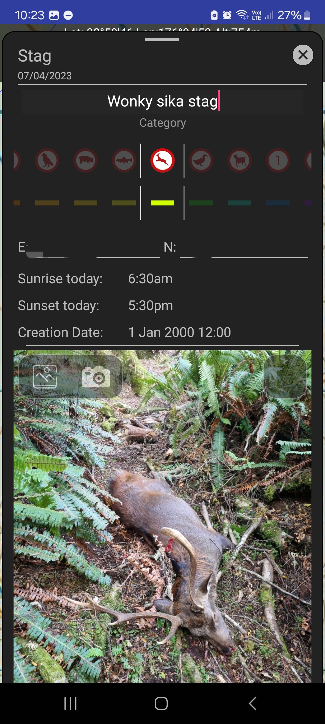
In the topo 50 app you can mark a way point then add a photo to that waypoint. Not sure how you would go about extracting to a computer but you would have the location and Pic on your phone
-
15-09-2024, 10:14 PM #11Member
- Join Date
- Jul 2013
- Location
- Wanganui
- Posts
- 421
Can you put the topo 50 app on a computer & export it from your phone I do with my tablet so if my phone ever shits it's self I have a back up off all my waypoints & tracks Originally Posted by Nick.m
-
25-09-2024, 07:42 PM #12Member

- Join Date
- Jun 2013
- Location
- Richmond, Nelson.
- Posts
- 783
Maptoaster?
Seems to have the features you want.
PC or Mobile versions too.
Price $179 for PC. Is that good or bad?
https://www.maptoaster.com/maptoaste...graphical.htmlArtillery...landscape adjustment since 1300AD.
-
04-10-2024, 08:09 PM #13Member
- Join Date
- Sep 2019
- Location
- Invercargill
- Posts
- 177
My iPhone 14 seems to take photos with all you asking re location etc
I can go to photo and flick up on the photo and it shows all the location data and photo stats plus there is a map that shows where the photo was taken
Seems to be accurate as it is using GPS not cell signal


 Reply With Quote
Similar Threads
-
Rangefinder mapping
By tibo in forum Firearms, Optics and AccessoriesReplies: 6Last Post: 26-02-2024, 10:14 AM -
Mapping a new area
By Cspence in forum HuntingReplies: 11Last Post: 19-01-2017, 04:21 PM -
DOC Mapping application
By mikee in forum HuntingReplies: 3Last Post: 27-06-2014, 11:44 PM -
GPS mapping
By Pengy in forum Gear and EquipmentReplies: 4Last Post: 29-12-2013, 10:44 PM
Tags for this Thread
 Posting Permissions
- You may not post new threads
- You may not post replies
- You may not post attachments
- You may not edit your posts
Welcome to NZ Hunting and Shooting Forums! We see you're new here, or arn't logged in. Create an account, and Login for full access including our FREE BUY and SELL section Register NOW!!
All times are GMT +13. The time now is 08:37 AM.

Bookmarks