

 4689Likes
 LinkBack URL
 About LinkBacks
Must have a pretty solid camera @GravelBen ?
Welcome guest, is this your first visit? Create Account now to join.
Welcome to the NZ Hunting and Shooting Forums.
Search Forums


User Tag List
+ Reply to Thread
Results 1,021 to 1,035 of 1251
-
10-05-2020, 09:23 PM #1021Member


- Join Date
- Jul 2013
- Location
- Dunedin
- Posts
- 602
-
-
11-05-2020, 12:44 AM #1022Member

- Join Date
- Aug 2012
- Location
- Gorrre
- Posts
- 3,601
@Spoon yip, got a couple actually! Bit of an addictive hobby, I do more shooting with camera than rifle these days. Originally Posted by Spoon

That moon shot is from a Nikon D7200 with Tamron 150-600mm lens.
-
22-05-2020, 10:14 PM #1023Member
- Join Date
- Aug 2012
- Location
- Gorrre
- Posts
- 3,601
Working late to get a job finished last week, got rewarded with 10 minutes of glorious light as the sun slipped between the cloud and horizon at the end of the day. So often its just about being in the right place at the right time (having a decent camera with you and knowing how to use it helps too of course
 ).
).
 Lines by Ben, on Flickr
-
30-05-2020, 08:11 PM #1024Member
- Join Date
- Dec 2011
- Location
- Southern Alps
- Posts
- 5,002
Nice photos guys,iv never been to this spot befor.
-
18-06-2020, 03:38 PM #1025Member
- Join Date
- Aug 2012
- Location
- Gorrre
- Posts
- 3,601
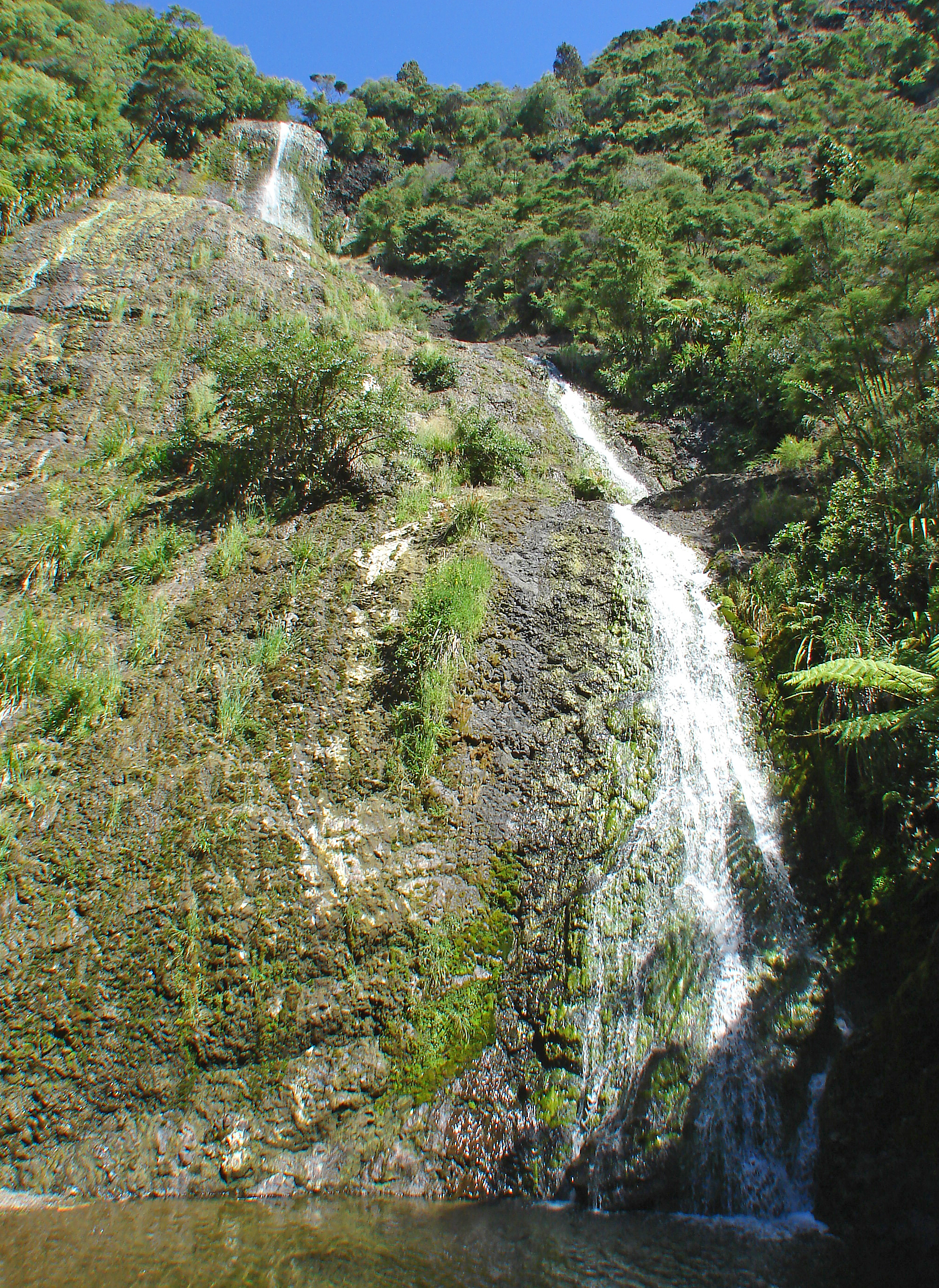
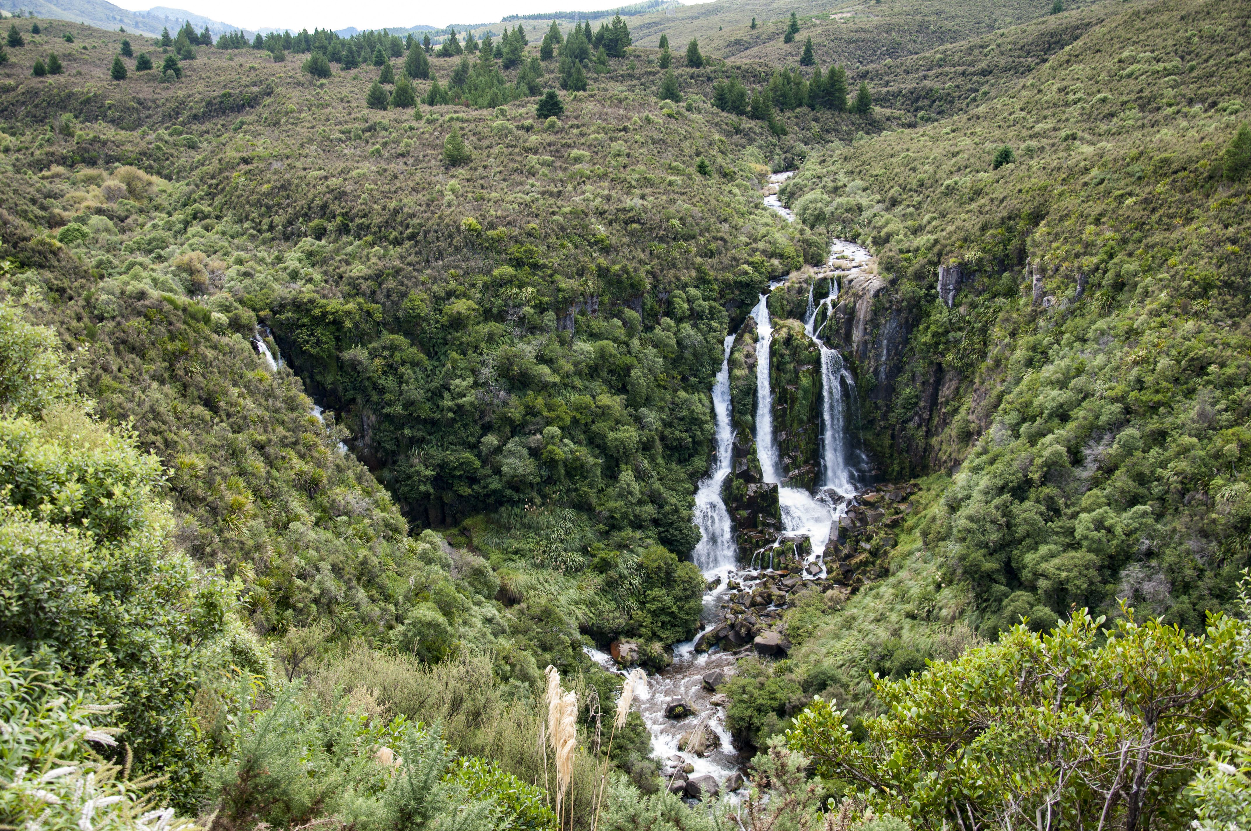
This thread is due for a waterfall photo.
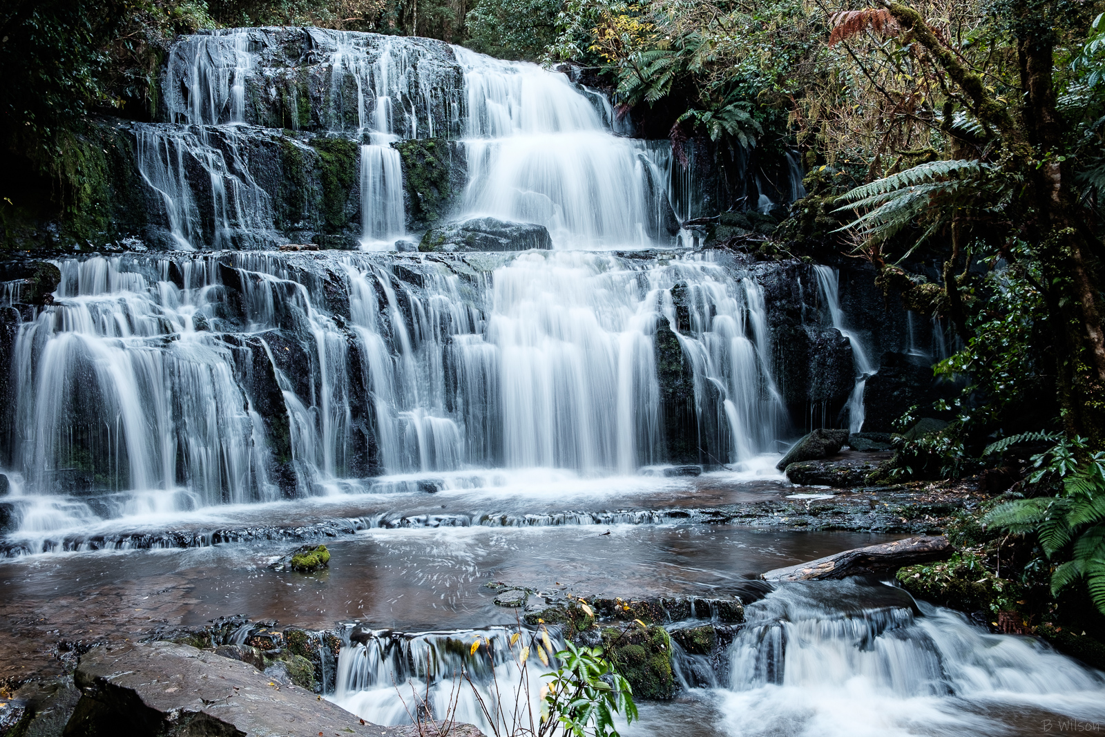 Purukaunui Falls by Ben, on Flickr
-
02-08-2020, 10:39 AM #1026Member
- Join Date
- Feb 2013
- Location
- Mangakino
- Posts
- 1,859
-
02-08-2020, 11:04 AM #1027Member
- Join Date
- Aug 2019
- Location
- South Otago
- Posts
- 4,002
Been to the last two weeks places in the last year.
McLean Falls further down the Catlins is also worth a look. (For anybody planning a trip that way)GravelBen likes this.
-
02-09-2020, 12:23 PM #1028Member
- Join Date
- Dec 2011
- Location
- Southern Alps
- Posts
- 5,002
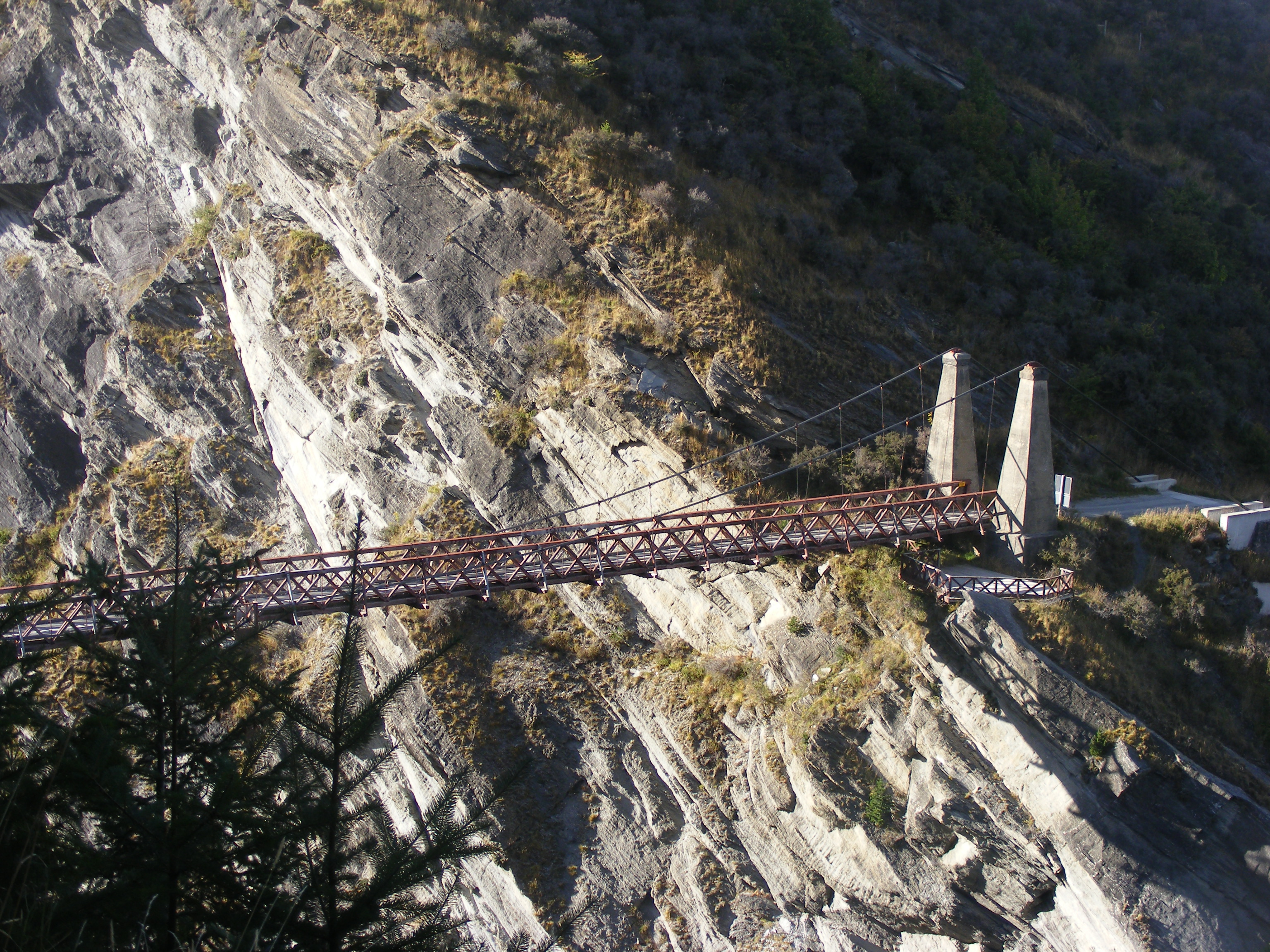
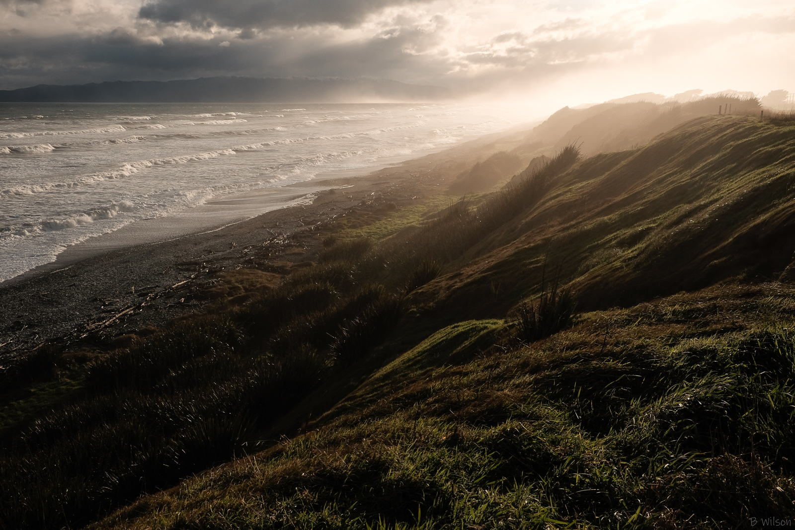
View of our play ground on a good day.
View from my top balcony.
Last edited by Trout; 02-09-2020 at 12:44 PM.
-
02-09-2020, 03:58 PM #1029Member
- Join Date
- Jun 2014
- Location
- CNI
- Posts
- 5,990
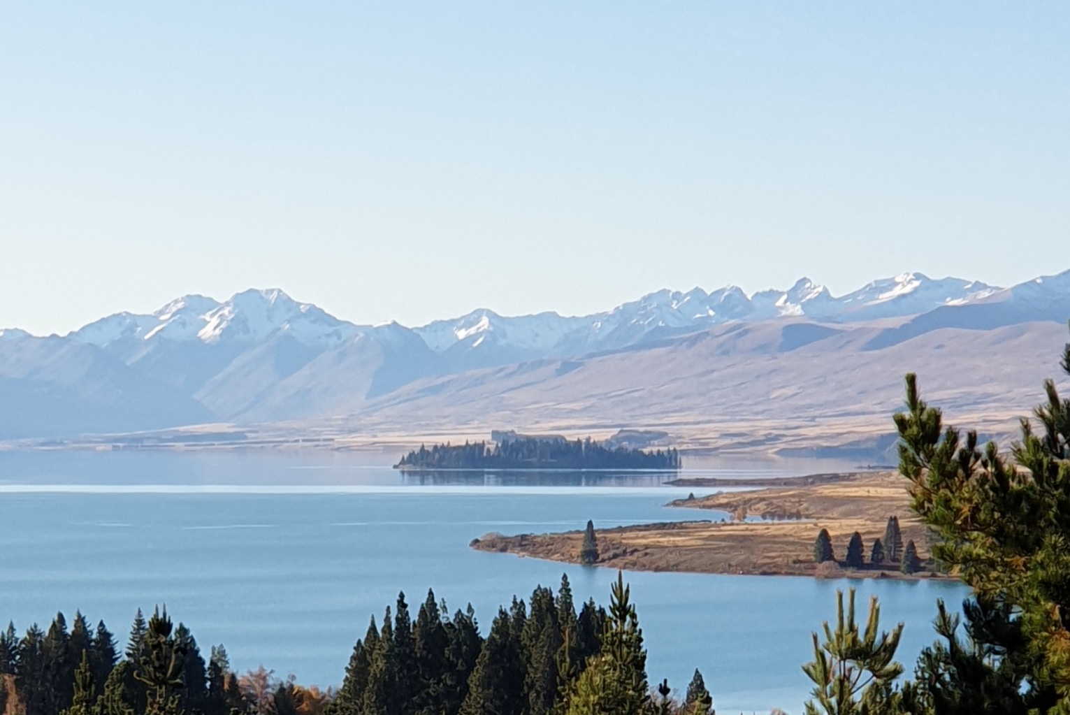
A lovely place.Summer grass
Of stalwart warriors splendid dreams
the aftermath.
Matsuo Basho.
-
02-09-2020, 04:53 PM #1030Member
- Join Date
- Aug 2012
- Location
- Gorrre
- Posts
- 3,601
A recent one I was pretty happy with:
 Te Waewae Bay by Ben, on Flickr
-
25-09-2020, 05:13 PM #1031Codswallop

- Join Date
- Feb 2013
- Location
- The Hill
- Posts
- 23,583
-
28-09-2020, 07:00 PM #1032Member

- Join Date
- Jan 2020
- Location
- Nelson/Tasman
- Posts
- 4,408
Got back a week ago and visited both Purakanui and McCLean falls well worth the walk Originally Posted by Finnwolf
-
11-10-2020, 03:57 PM #1033Gone but not forgotten
- Join Date
- Jul 2014
- Location
- Porirua
- Posts
- 87
I have been going through some of my photo collections and came across some shots I thought (I hope I am not being pretentious) that others might like, too.
Here are some 'watery' ones.
Waihirere Falls, near Hicks Bay.
Waipunga Falls, Napier-Taupo Road. I think someone else might have posted a similar photo somewhere, way back, but I cannot remember who or where.
Coalpit Dam, Naseby, Central Otago
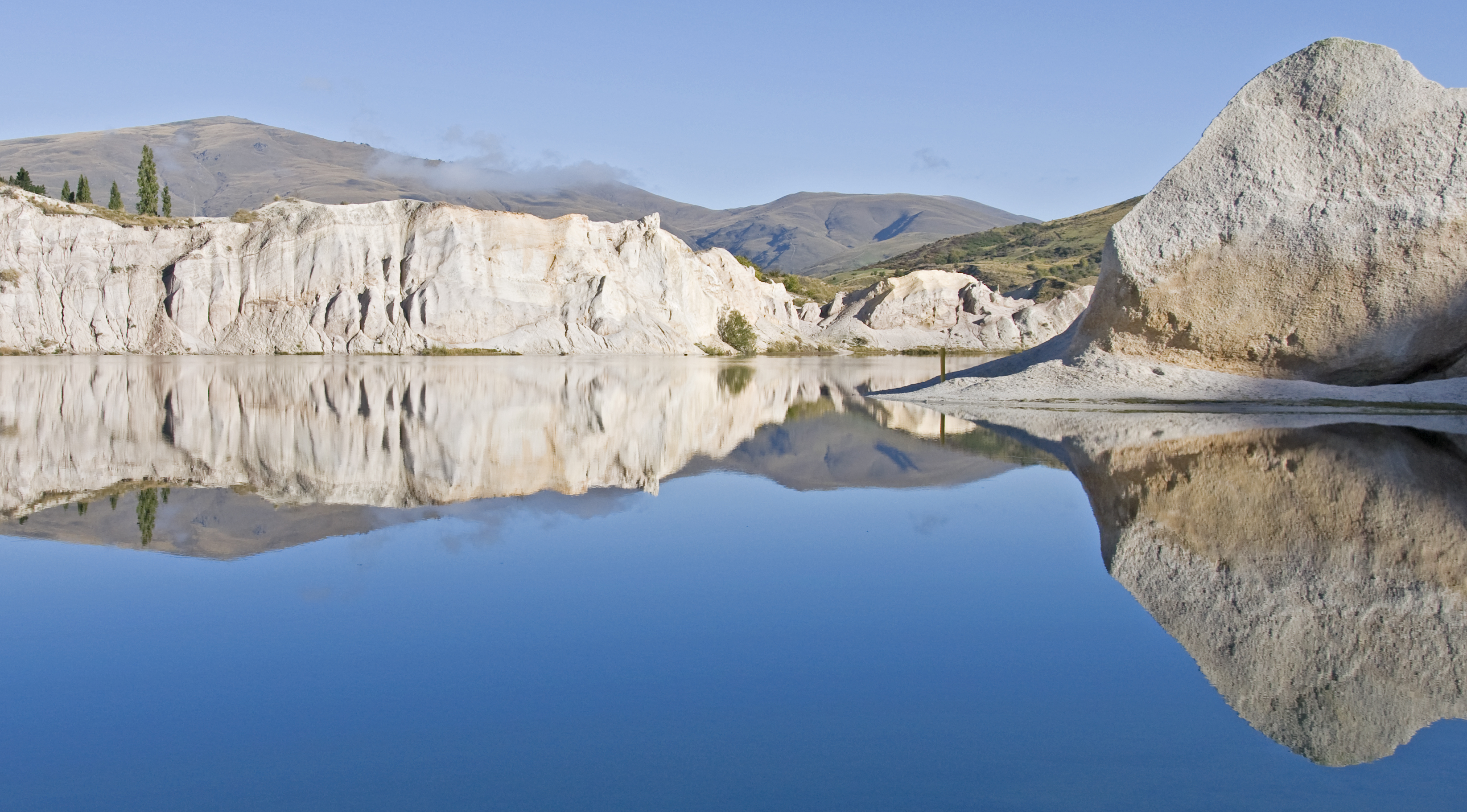
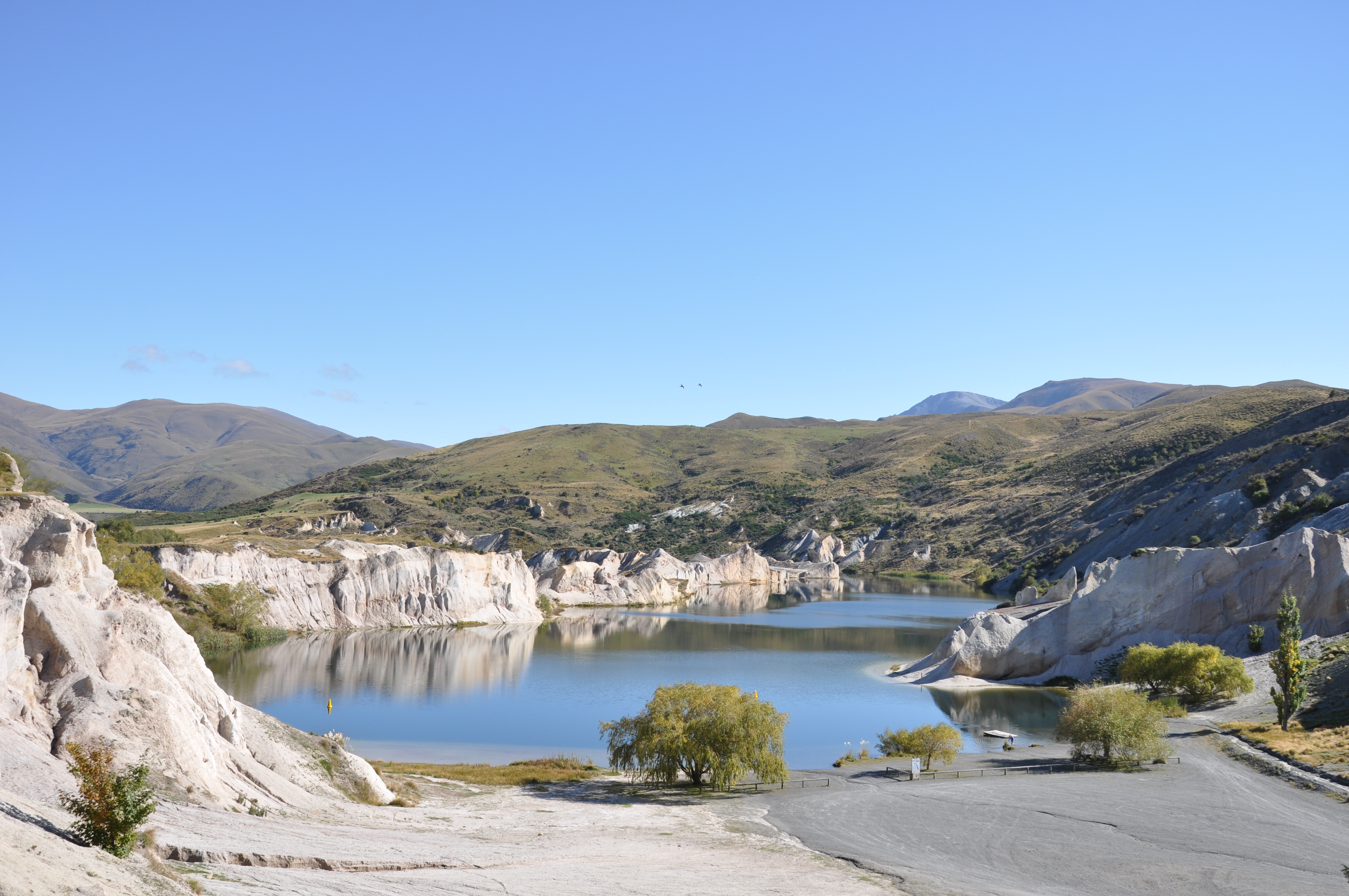
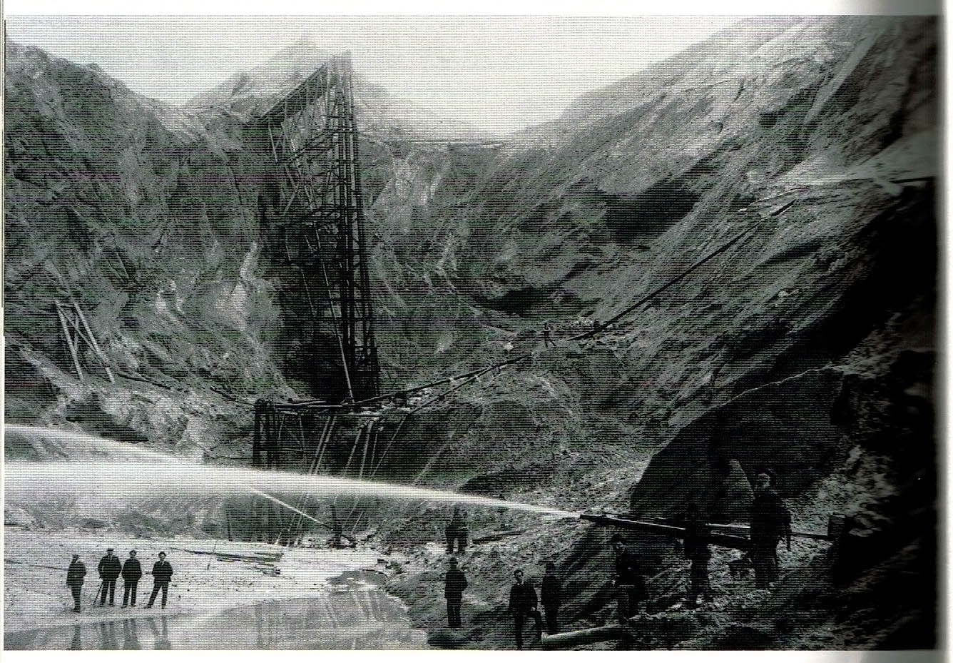
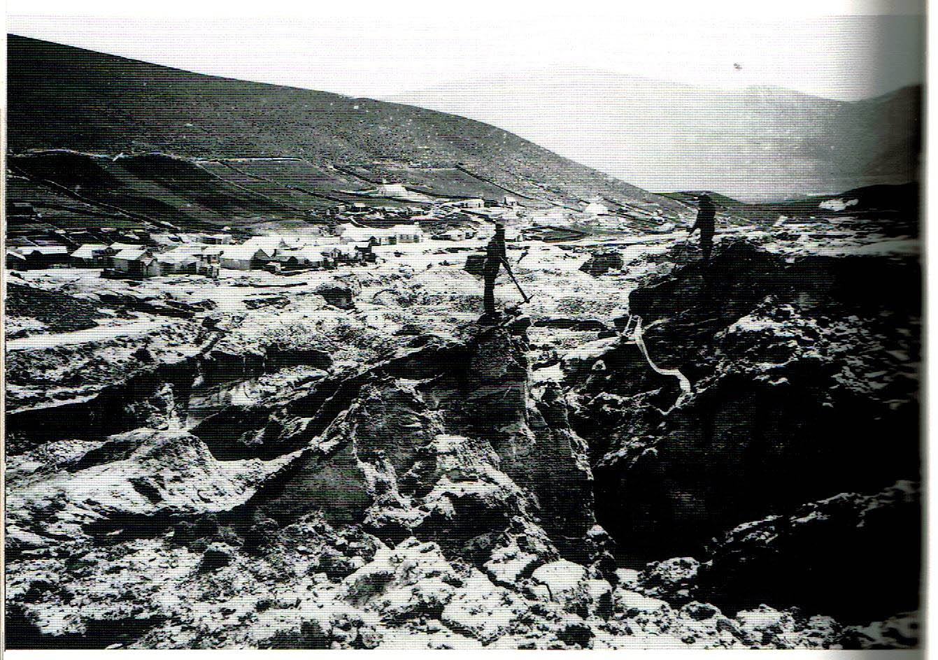
The Blue Lake, St Bathans, Central Otago. The very same spot was once called Kildare Hill. Prospectors found gold there in the 1860s and dug and dug until the hill became a hole! Eventually it became too deep for hydraulic elevators to work satisfactorily and the workings were abandoned - and the hole filled up with water.
-
11-10-2020, 09:00 PM #1034Member

- Join Date
- Feb 2014
- Location
- Blenheim
- Posts
- 648
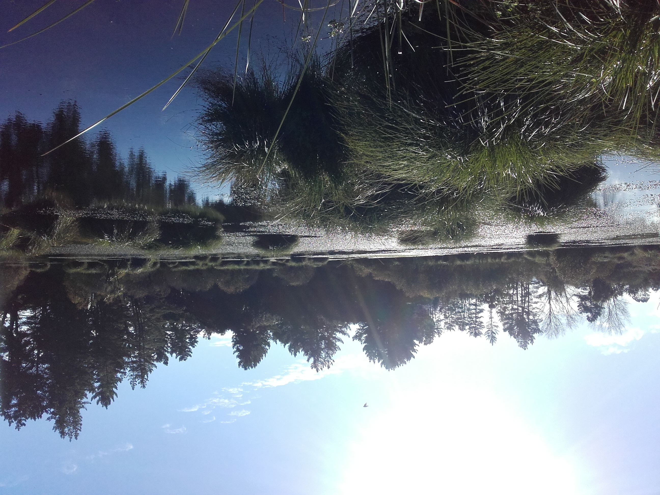
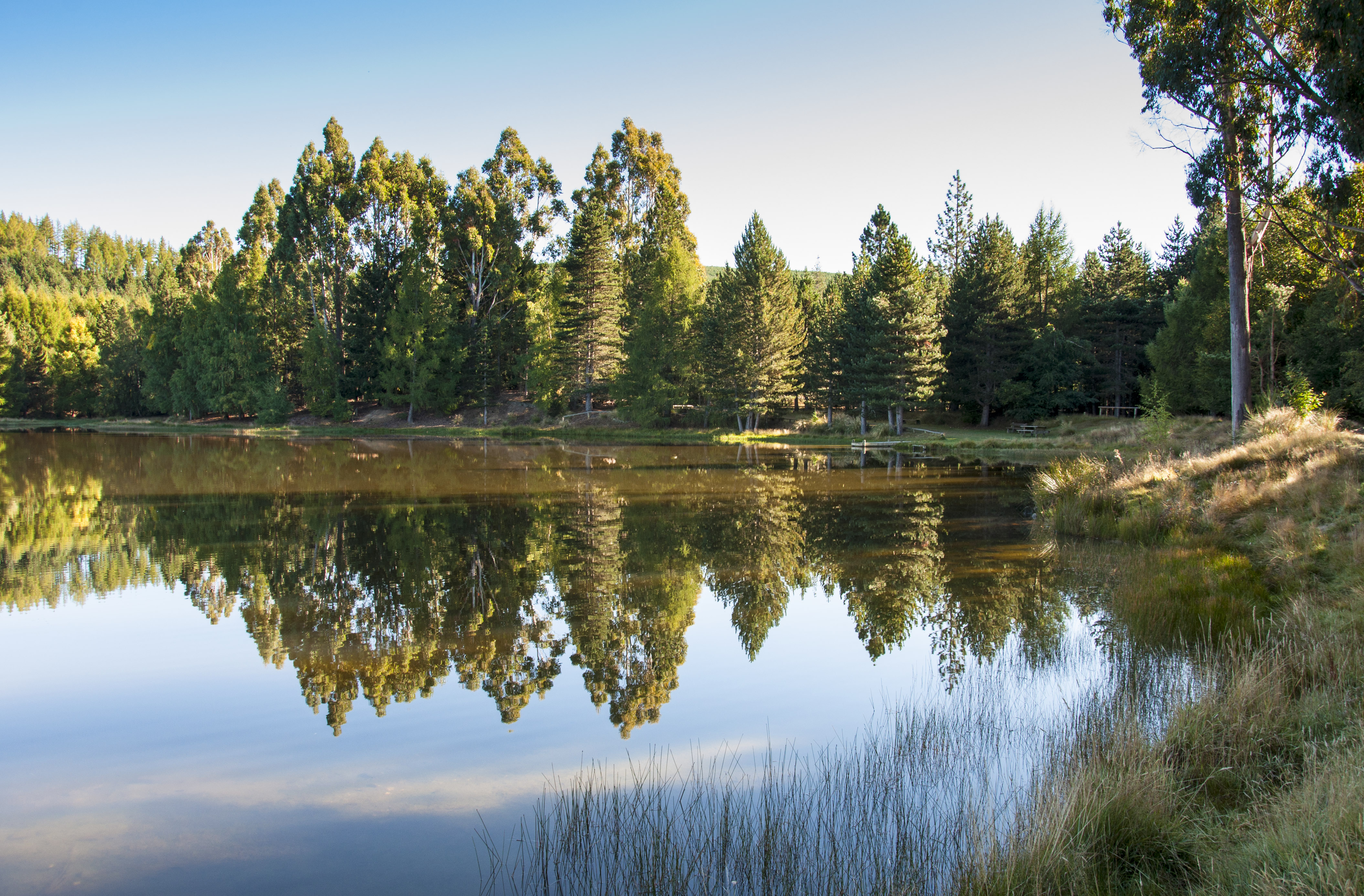
Took a couple of photos while out looking around the other morning.


Sent from my SM-G980F using Tapatalk
-
16-10-2020, 10:17 PM #1035Gone but not forgotten
- Join Date
- Jul 2014
- Location
- Porirua
- Posts
- 87
It occurred to me that a photo of the whole of the Blue Lake (well, most of it) could be informative, rather than just a portion of it featuring spectacular reflections. The township, or what is left of it now, is out of view on the left.
Here are scans of two very old photos, one showing Kildare Hill levelled, and the other showing the hole that finally became the Blue Lake. They couldn't extend the hole too far to the west (left, in the second photo) or the whole town might have fallen into it!


 Reply With Quote
Similar Threads
-
Photos of your dog
By Shootm in forum DogsReplies: 541Last Post: 10-02-2013, 08:52 AM -
The Shots of which your most Proud
By Barefoot in forum HuntingReplies: 31Last Post: 19-10-2012, 04:08 PM -
Photos
By Wildman in forum Questions, Comments, Suggestions, Testing.Replies: 1Last Post: 26-04-2012, 11:42 AM
Tags for this Thread
- 1187,
- 1894,
- 20mm,
- 22 lr,
- 22.,
- 2208,
- 2209,
- 222,
- 223,
- 243,
- 260,
- 280,
- 3006,
- 300wsm,
- 303,
- 308,
- 338,
- 357,
- 375,
- 403,
- 410,
- 4wd,
- 5000,
- 50ae,
- 556,
- 708,
- 782,
- 870,
- 9422,
- andrew,
- app,
- arrow,
- article,
- away,
- axe,
- bang,
- bastards,
- belt,
- bren,
- bright,
- british,
- buck,
- bucks,
- buy,
- cameras,
- cheap,
- china,
- coast,
- creek,
- decoy,
- deer stalking,
- down jacket,
- extension,
- f-class,
- face,
- far north,
- first deer,
- fox,
- glassing,
- guides,
- gundog,
- henry,
- hook,
- housing,
- hunting,
- hunting.,
- ipad,
- iphone,
- jacket,
- legend,
- lifetime,
- lodge,
- lost,
- mac,
- magazine,
- manawatu,
- matt,
- mil,
- mk iii,
- mount,
- mt cook,
- murchison,
- nikon,
- north,
- north island,
- orange,
- otago,
- otaki,
- party,
- pengy,
- phone,
- photo,
- photography,
- photos,
- pic,
- pictures,
- poi,
- pressure,
- pukaki,
- quiet,
- radio,
- road,
- round,
- rushy,
- russian,
- sarvo,
- saving,
- seat,
- second hand,
- shipping,
- shoot,
- shooting,
- shorts,
- shot,
- silver,
- sleeping,
- smith,
- smith and wesson,
- son,
- sounds,
- south island,
- spotter,
- squirrel,
- staffy,
- stalking,
- stewart island,
- super light,
- surf,
- swede,
- tackle,
- tale,
- taranaki,
- target shooting,
- tongariro national park,
- top,
- tracking,
- trailer,
- twizel,
- ultralight,
- usa,
- wesson,
- whataroa,
- win,
- winter,
- wool,
- youth,
- zeiss
 Posting Permissions
- You may not post new threads
- You may not post replies
- You may not post attachments
- You may not edit your posts
Welcome to NZ Hunting and Shooting Forums! We see you're new here, or arn't logged in. Create an account, and Login for full access including our FREE BUY and SELL section Register NOW!!
All times are GMT +13. The time now is 06:35 AM.

Bookmarks