I've had a Desert Road to Kuripapango trip in my head for a long time. But there's so many ways to do it, I haven't decided exactly which way I would go. Try to see some new country I think.
Welcome guest, is this your first visit? Create Account now to join.
Welcome to the NZ Hunting and Shooting Forums.
Search Forums
User Tag List
+ Reply to Thread
Results 16 to 18 of 18
-
20-08-2021, 08:16 PM #16Member

- Join Date
- Sep 2017
- Location
- BOP
- Posts
- 502
-
-
20-08-2021, 08:25 PM #17Member

- Join Date
- Oct 2013
- Location
- Napier
- Posts
- 1,612
You can go from Comet to Shutes, up the Taruarau to the Ikawtea confluence, up the Ikawtea to the forks and push up to Ruahine Corner from there or head up the track (which has been re-established for Blue Duck monitoring) to the No-Mans Rd end and work back to the main range from there. Wouldn't do it in high river flows though.
-
20-08-2021, 08:27 PM #18Member

- Join Date
- Jan 2019
- Location
- South Canterbury
- Posts
- 1,652
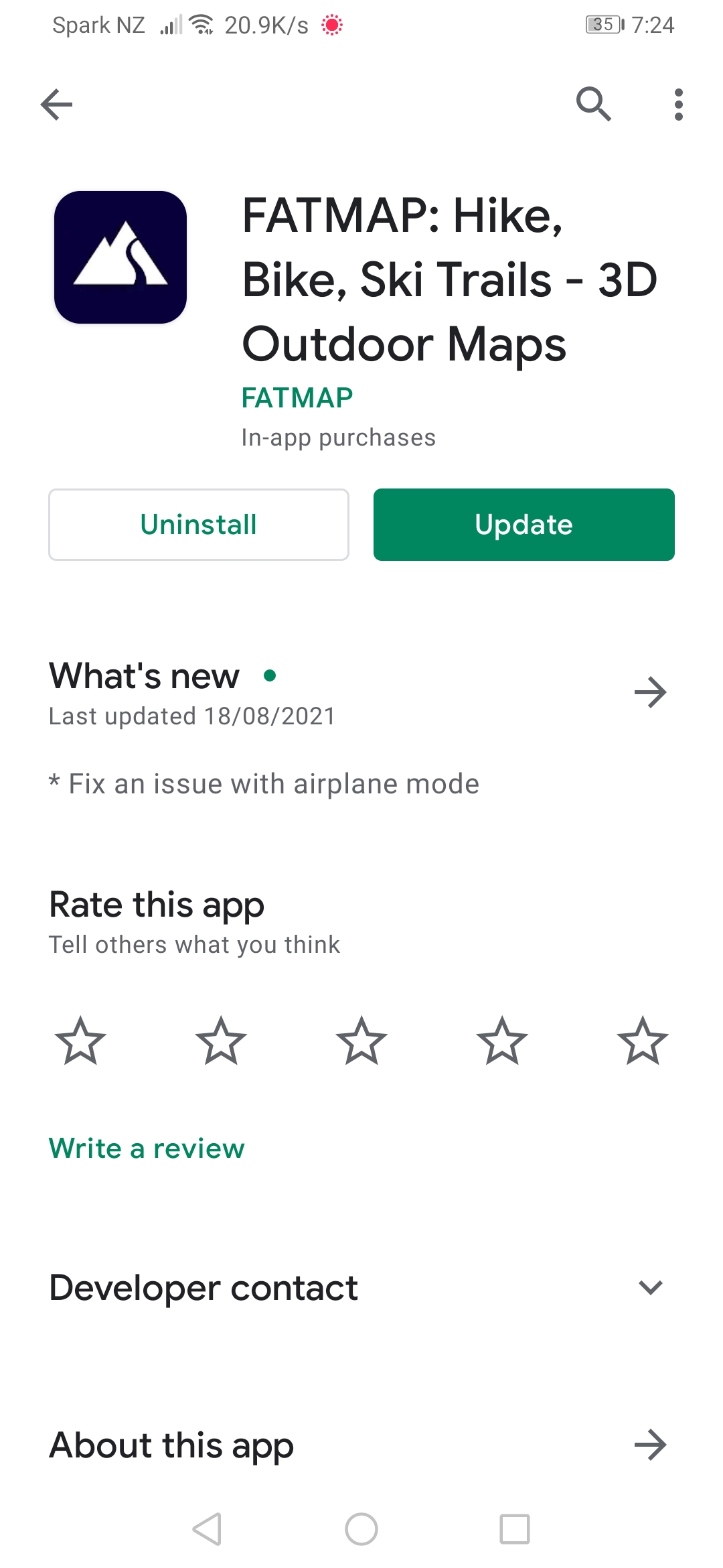
@hebe, FATMAP is an app in play store. Very similar to Google earth 3D but easier to use imo.
 47
47
Similar Threads
-
Kaweka and Ruahine hunting
By Tasman in forum HuntingReplies: 2Last Post: 22-06-2020, 08:48 PM -
Kaimanawa/Kaweka family options
By Cigar in forum Other outdoors, sports, huts and tracksReplies: 7Last Post: 20-09-2019, 08:16 AM -
Air access into Kaweka - Kaimanawa
By Sarvo in forum HuntingReplies: 20Last Post: 23-08-2019, 09:25 AM -
East Kaweka 1080 info
By Kooza in forum HuntingReplies: 55Last Post: 12-10-2016, 08:29 PM
Tags for this Thread
Welcome to NZ Hunting and Shooting Forums! We see you're new here, or arn't logged in. Create an account, and Login for full access including our FREE BUY and SELL section Register NOW!!


 12Likes
 LinkBack URL
 About LinkBacks


 Reply With Quote


Bookmarks